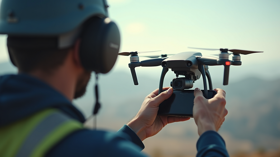
Soaring into Summer 2025: Terra-Calc's Exciting New Drone Team Unveiled!
- jayp10
- Jul 21
- 3 min read
Get ready for an aerial revolution! The summer of 2025 is almost finished, and Terra-Calc, a leader in innovative land assessment solutions, is making headlines with its new drone team. This addition is not only exciting; it is set to change the way Terra-Calc serves its clients and leads the industry in aerial surveying.
Expanding Horizons with Advanced Technology
Drones have quickly become essential in many fields, especially for gathering data and analyzing landscapes. With the new drone team, Terra-Calc will use high-resolution aerial imagery to improve the precision of its surveying and mapping services. This upgrade is more than a competitive edge; it aims to set a new standard for accuracy and efficiency in the industry.

The team utilizes top-of-the-line equipment, including drones equipped with cameras capable of 48-megapixel resolution and advanced sensors that capture detailed topographical data. This means that clients can expect high-quality outputs in significantly shorter timeframes. For instance, traditional land surveys that might take days can be completed in just hours, providing clients with timely information that can save time and resources.
Meet the Team: Experts in the Skies
The newly formed drone team is a powerhouse of talent, consisting of skilled drone pilots, data analysts, and UAV (Unmanned Aerial Vehicle) technicians. Each member comes with a wealth of experience in aerial surveying and land management, ensuring they are well-equipped to handle the specific challenges these fields present.

Continuous training is a priority for this team. They are committed to staying updated on the latest drone technologies, which helps enhance their service quality. This focus means clients will benefit from both advanced technology and a team dedicated to meeting their unique project needs.
New Services on the Horizon
With the drone team in place, Terra-Calc is excited to introduce new services tailored to meet modern client demands. These services include:
Detailed Aerial Photography - Capturing stunning visuals for marketing or project documentation.
Precision Land Mapping - Offering accurate assessments crucial for land development decisions.
Additionally, 3D modeling capabilities deliver valuable insights that traditional methods can't match. For example, construction projects can use real-time aerial data to adjust plans quickly, improving efficiency and reducing costs. Research shows that projects using drones can experience a 20% decrease in delays, making them a game-changer in the industry.
The Future Looks Bright!
The establishment of this drone team marks a significant advancement for both Terra-Calc and the surveying industry overall. By integrating cutting-edge technology, the company is ready to provide unmatched service and innovative solutions that meet current market needs.
As summer 2025 sunsets, there is palpable excitement about the possibilities this new drone team will create. With all eyes on them, Terra-Calc is poised not just to meet expectations but to soar above and beyond what's possible in surveying.

The Path Forward for Terra-Calc
The addition of the drone team represents a pivotal moment for Terra-Calc, demonstrating a strong commitment to innovation and high-quality service. By employing advanced drone technology, they are set to redefine both efficiency and accuracy in land surveying. As we look toward fall 2025, the anticipation grows to see how this forward-thinking approach will not only elevate Terra-Calc but also transform the face of the surveying industry.


Comments